
London, Europe Brief News – A stormy weather is expected to hit much of south-west England and Wales, Herefordshire and Shropshire over the next ew hours.
Rain could swamp some homes and businesses and winds of up to 60mph are expected in parts of the UK, Met Office warned.
It said some areas of higher ground could receive 70-90mm or more of rain, and downpours could flood properties and cause power cuts.
Heavy rain could also cause delays or cancellations on public transport, and spray and flooding could lead to treacherous driving conditions and road closures, the forecaster added.
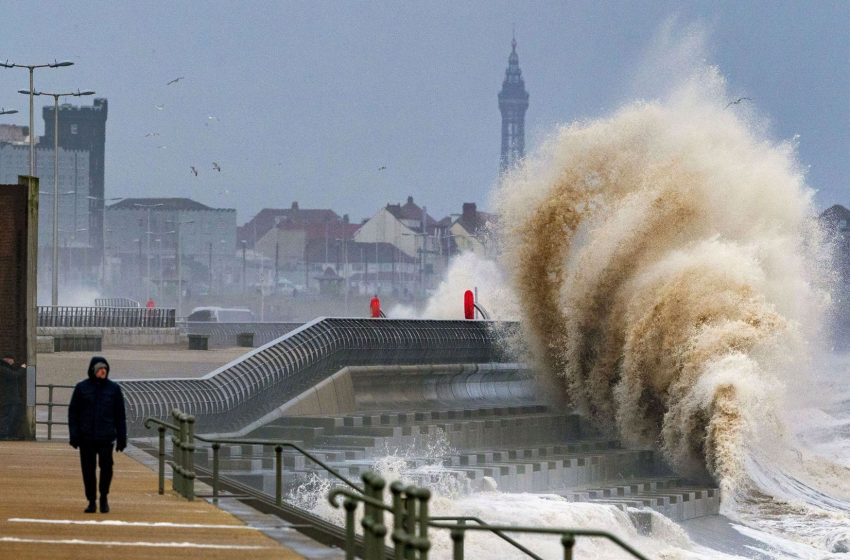
It warned that “very strong west or south-west winds are expected, producing gusts to 45mph inland and 60mph along some coasts and across high ground, with the peak in the winds most likely on Wednesday night”.
The Met Office urged people travelling to “take a little extra time” to make their journey safe amid the “strong, gusty winds”. Some communities may also be cut off by flooded roads, it added.
Aerial photos on Wednesday showed heavy rain had left areas around Tewkesbury in Gloucestershire submerged by flood water.
The Met Office meteorologist Aidan McGivern said: “With all that wet weather coming in, there are concerns, particularly for those areas that have already seen so much rain across western England and Wales. The wettest weather is likely to see 60-80mm falling across the Brecon Beacons and Exmoor.”